Weather Graphics.
Thumbnails and map graphics for YouTube and other sites, with the risk areas highlighted for you automatically and a lot of room to customize. It is the main feature of v0.0.7 and it is being built now.
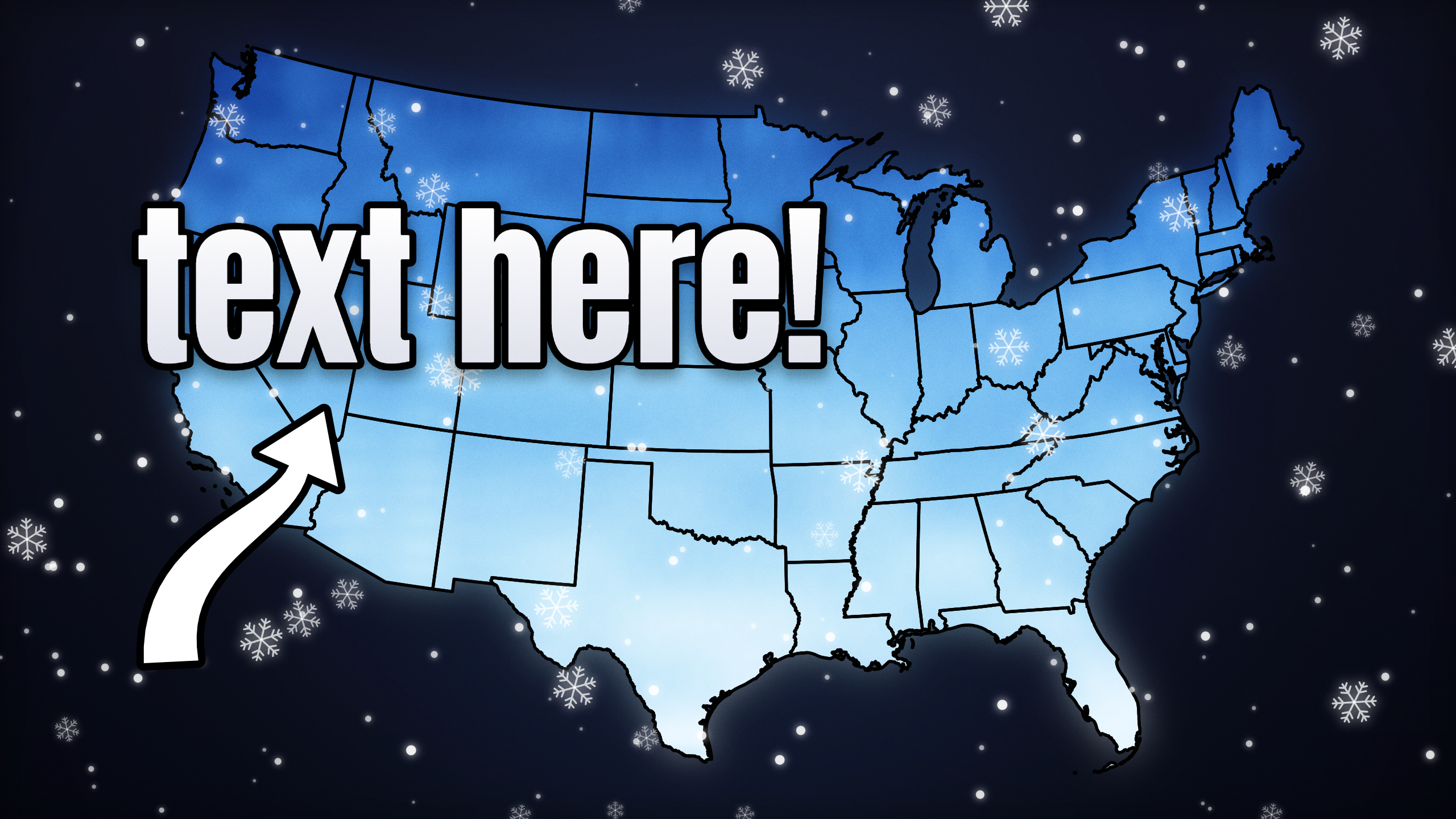
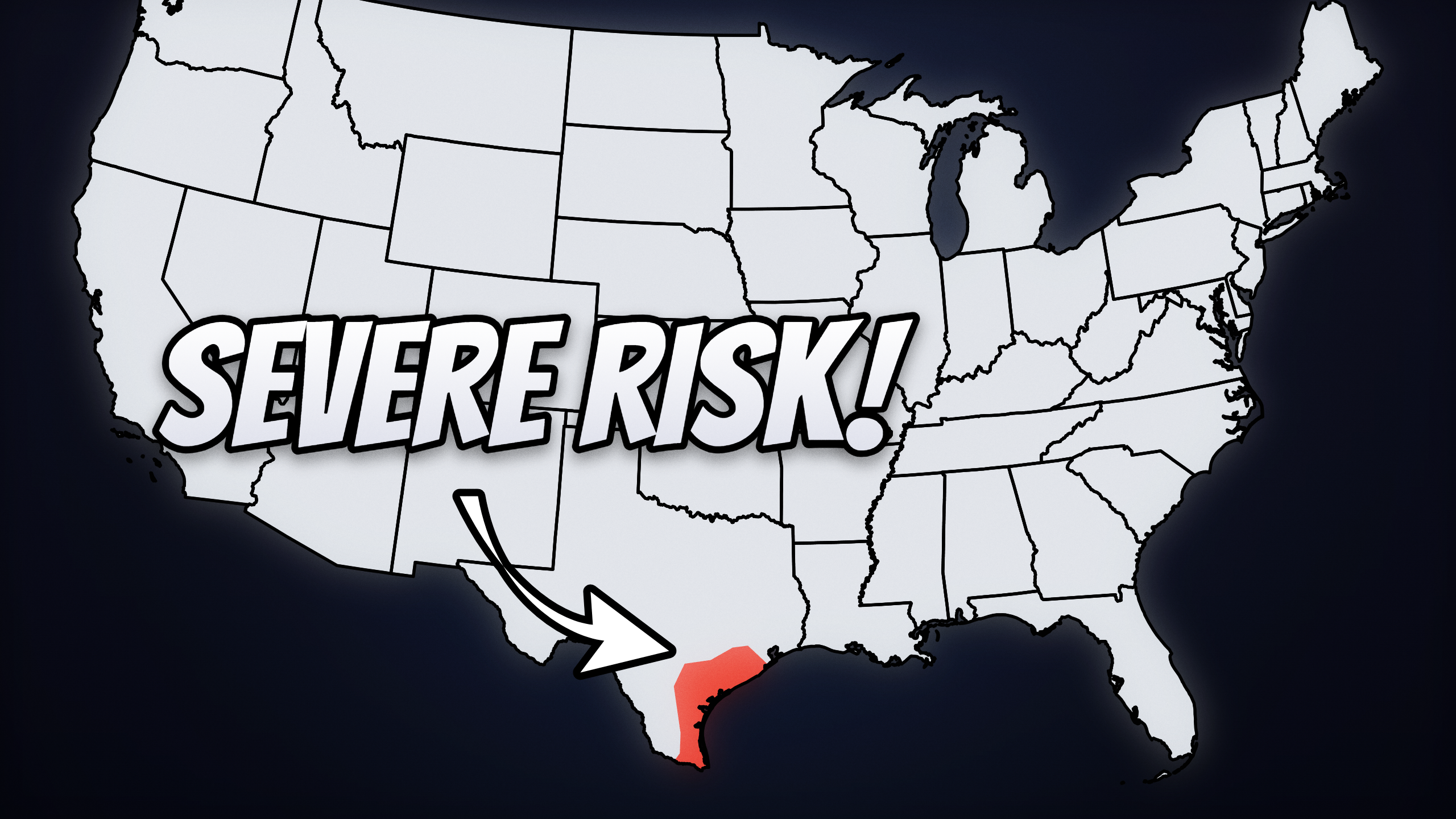
Map graphics that highlight the risk.
Weather Graphics is a new part of StormSync for making the pictures that go with your coverage: video thumbnails, stream thumbnails and the map graphics used on YouTube and other websites.
StormSync highlights the risk areas on the map automatically, so you are not outlining them by hand. You then make it your own, with a lot of customization over how the graphic looks.
Everything on this page is a plan, not a promise, and any of it can change.
Thumbnails for videos
Make thumbnails for your YouTube videos and for other sites that use map graphics.
Thumbnails for streams
Make thumbnails for your streams, in the same style as your overlays.
New stream elements
Weather Graphics also brings new stream elements to StormSync in general.
Automatic, but yours.
The automatic part saves you the slow work. The customization is so the result still looks like your channel and not like everyone else's.
If you want an option or an element that is missing, please reach out. I would be more than happy to add it.
No AI
Maps and risk areas come from real data, not from an image generator. What you see is what the data says.
Also in v0.0.7: a backup server.
The smaller change in this update is on the infrastructure side. Central Feed is getting a new backup server that can take over if the main one goes down. The current main server stays exactly as it is.
You can check the current state of Central Feed any time on the maintenance page.
Current server
Stays the same. Nothing changes for you.
Backup server
New. Ready to take over in case the main one goes down.